
arnab cyclone update: Breaking! Landfall Oct 28, 125 km/h Winds, TN Rain.
Latest arnab cyclone update: Arnab strengthens, heads to AP coast for Oct 28 landfall. See Tamil Nadu rain forecast & severe weather warnings here.

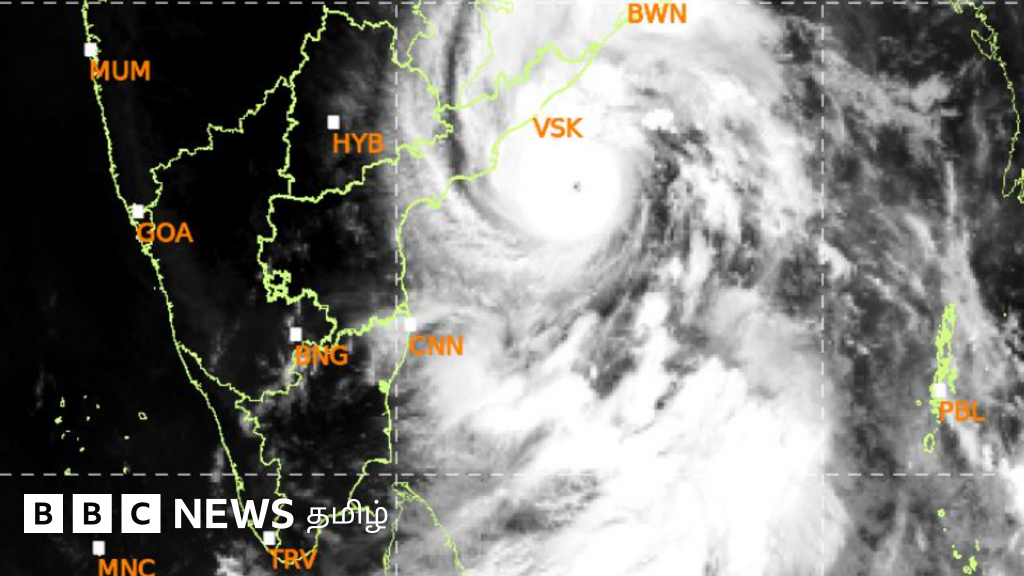
Arnab Cyclone Intensifies: Andhra Pradesh Braces for Landfall, Tamil Nadu Forecasts Rain
A significant meteorological event is unfolding in the Bay of Bengal. The Arnab cyclone update confirms its status as a very severe cyclonic storm. This powerful system is steadily advancing towards the Andhra Pradesh coastline. Coastal regions are on high alert, preparing for its anticipated arrival.
The India Meteorological Department (IMD) has issued critical information regarding its trajectory. Landfall is expected near Yanam, between Bapatla and Visakhapatnam, on the morning of October 28. This comprehensive arnab cyclone update highlights the storm's intensity and potential impact.
Arnab Cyclone Update: Current Status and Trajectory
The India Meteorological Department (IMD) released a detailed announcement this morning, around 10 AM. It provided an updated arnab cyclone update on the storm's movement. At 5:30 AM on October 27, the very severe cyclonic storm Arnab was situated in the west-central Bay of Bengal.
Over the past six hours, the cyclone moved westward at a speed of 22 km/h. Its position was precisely tracked. This bay of bengal cyclone posed an immediate threat to the eastern coast.
Key locations relative to the cyclone's center at 5:30 AM on October 27 included:
- 400 km southeast of Gopalpur, Odisha.
- 350 km southeast of Visakhapatnam, Andhra Pradesh.
- 420 km southeast of Kakinada, Andhra Pradesh.
- 520 km east of Machilipatnam, Andhra Pradesh.
- 590 km southeast of Bapatla, Andhra Pradesh.
- 870 km west-northwest of Sri Vijayapuram in the Andaman Islands.
This precise data is crucial for preparedness. The IMD cyclone warning system provides vital intelligence for coastal communities.
Projected Landfall and Intensity
The cyclone is predicted to maintain its west-northwestward trajectory until the evening of October 27. Subsequently, the system will shift its course. It is expected to move northwestward, targeting the Andhra Pradesh coast. This andhra pradesh cyclone is a major concern for the region.
Landfall is highly probable on the morning of October 28. The cyclone is expected to cross the coast near Yanam. This location lies between Bapatla and Visakhapatnam. At the time of landfall, strong winds are anticipated. Wind speeds could range from 115 to 125 km/h. Gusts might reach up to 140 km/h. Authorities are advising extreme caution.
Tamil Nadu Rain and Coastal Impact
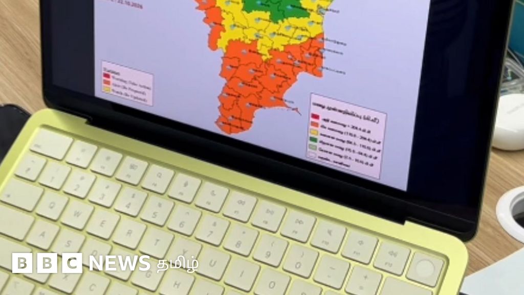
Following the cyclone Arnab development, port warnings have been issued across various harbors in Tamil Nadu. The Chennai Meteorological Department's cyclone warning center released port alerts at 5 AM on October 27. These warnings advise heightened vigilance.
The forecast for tamil nadu rain on October 27 indicates varied conditions. Isolated places in the Western Ghats and South Tamil Nadu may experience light to moderate rain with thunder. Strong winds, reaching 40 to 50 km/h, are also possible in these areas. Other parts of Tamil Nadu, Puducherry, and Karaikal are expected to remain largely dry.
For Chennai and its suburban areas, the sky will likely be partly cloudy. There is a chance of light rain with thunder in some parts of the city. Maximum temperatures are forecast to be between 32 and 33 degrees Celsius. Minimum temperatures will hover around 26 to 27 degrees Celsius.
Looking ahead, the arnab cyclone update suggests continued impact on Tamil Nadu. On October 28, isolated light to moderate rain is possible in Western Ghats districts. South Tamil Nadu may see isolated light rain. Similar conditions are expected for October 29 and 30. Light rain could occur in some parts of the Western Ghats districts and South Tamil Nadu during this period.
In conclusion, the Arnab cyclone update signifies a serious weather event impacting the Bay of Bengal. While Andhra Pradesh prepares for direct landfall, Tamil Nadu is also experiencing secondary effects, including port warnings and localized rainfall. Residents in affected areas must remain vigilant and adhere to official advisories as this powerful storm progresses.
More updates
Follow the latest Trending news and related coverage.
What's Your Reaction?
 Like
0
 Dislike
0
 Love
0
 Funny
0
 Wow
0
 Sad
0
 Angry
0










Comments (0)